 I woke up a little after sunrise and felt surprisingly well rested. I say, “surprisingly”, because I don’t know who ever expects to sleep well while camping, unless of course you are so tired that it does not matter.
Before we fell asleep the night before, Nick promised today to be the hardest hike of our trip—the plan was to head down the North Kaibab trail to the Roaring Springs. The trail starts at the rim of the canyon and leads all the way down to the bottom almost six thousand feet below. The Roaring Springs is about three thousand feet below the rim and the hike is about five miles each way.
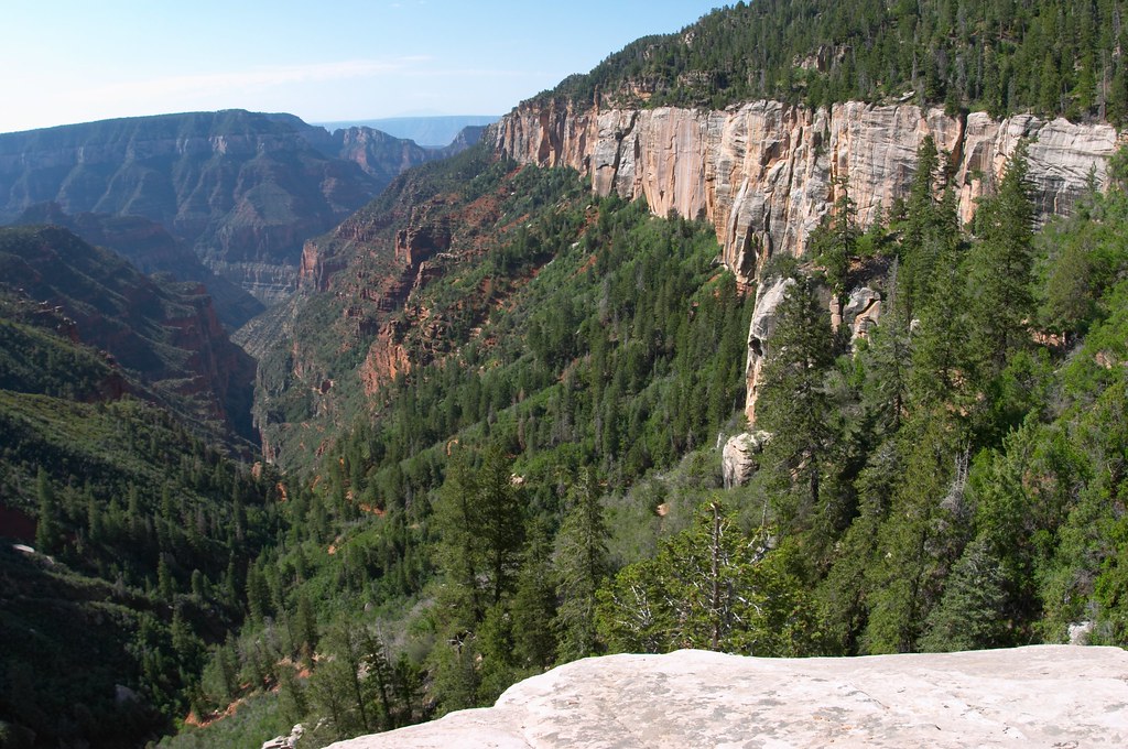
 We started down the trail around 8. A little enclosure by the trail head held several mules, waiting to take people on a ride down into the canyon. The trail started among quaking aspens (as opposed to quacking aspens), and quickly led us to a view point on the ledge – Coconino Overlook. We could see our trail threading its way down the canyon far below. We were on top of a rock layer that looked very white with yellow and silver blue stripes running down its surface. As we continued down, we were soon brushing our shoulders against the red walls while the white rocks towered far above us.
 We crossed paths with mule processions several times. In fact the presence of mules on the trail was hard not to notice, their pee and poop, both fresh and dried, scattered everywhere. Apparently mules are not only stubborn, but also rather jumpy animals. The park rangers were constantly instructing us to be quiet and avoid making any sudden moves when in the presence of these big-eared creatures. They do look rather adorable with those droopy eyelids and long eye lashes.
 Less then two miles down the trail we reached a “rest stop” equipped with bathrooms and potable water. This also was a stop over for the mules—several of them were tied up near by. Continuing down the trail we had to walk through a little tunnel, though not too small, as it had to be big enough for the mules to pass.
At one point during our downward procession, Nick abruptly stopped us. We all listened. Everyone agreed that it sounded like a rock fall. We strained our eyes up and down the canyon walls in the direction of the sound. Nothing. A rock fall in this area could be worrisome for us as it might block the trail. Suddenly we noticed a group of mules below us. They were coming up a slight rise on the hill ahead after crossing a little bridge. The mules walking on the bridge and the echo of their horseshoes hitting the wood created the sounds we mistook for a rock fall.
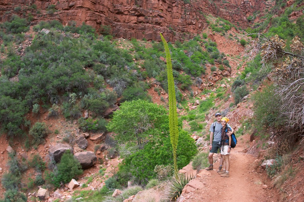
 The trail towards the Roaring Springs led mostly downward except for a short section after crossing the bridge. We continued to cut across different types of sandstone, and the colors around us changed constantly. We had a friendly discussion about the plant with long thick leaves whose royal stock full of bright yellowish green flowers rose over 10 feet high. Some of us thought it was an aloe plant, while the others argued it was a yacca, or maybe even a yucca plant. A park ranger settled the dispute by announcing the plant to be from the agave family, meaning it was neither a yucca nor an aloe.
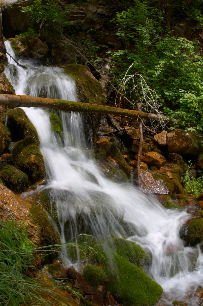
 It took us about four and a half hours to reach the Roaring Springs. We could see the thin long waterfall as we approached, but once at the rest area, we could only hear the water, and enjoy the deep shade of the trees and tall grasses growing around us. The hike down was more tiring then I expected, and we took a nap after lunch while Nick wondered restlessly around.
I was very nervous about the hike back out of the canyon. Yet, unexpectedly it went blazingly fast. Perhaps it was because we took fewer photos on the way back. Or perhaps we were all a little tired, and eager to be done with the hike. We actually spent less time going up the trail back to the rim, than we did going down.
Back at the rest stop near the tunnel we saw 6 people who completely fit the profile of someone who, according to the park service, would most likely be in need of assistance out of the canyon.
 They were males in their early 20s, probably still in college. Young, buff, fit, they have been hiking since 3am that morning, and they started at the South Rim of the Grand Canyon. The trail leading from the South Rim down to the Colorado River and up to the North Rim is over 21 miles long and implies an elevation gain of about 6000 feet, while the temperatures at the lower parts of the canyon are brutally hot. Faced with a difficult trail and harsh conditions, these young men wore old sneakers, carried very small water bottles, and took off their shirts doubtlessly to achieve maximum exposure to the sun and the fastest dehydration rate. This time these guys made it out fine, though rather pink and tired. Normally the “rim to rim” trail is done over 3 day.
 Back at our campsite, we went to wash off in coin operated showers. Famous for taking exceedingly long showers, I was granted 2 sets of quarters, and while I could have done away with one, I decided to indulge and used up the second set as well.
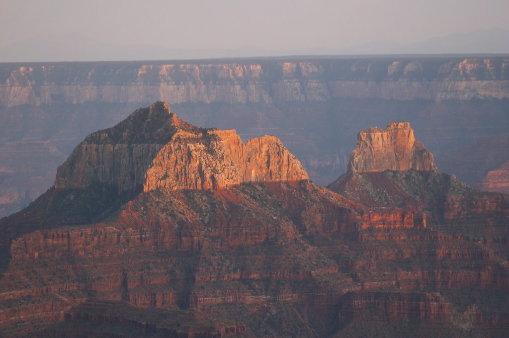
 Squeaky clean we again drove out to the Grand Canyon Lodge this time arriving right in time to watch the sunset. The canyon turned many shades of purple, while oranges and pinks of the setting sun played on the horizon. We crowned the evening with a fabulous meal at the restaurant in the Grand Canyon Lodge.
This comment has been removed by a blog administrator.
ReplyDelete